Paddrick-Dutchess Flood Relief Project
Project Overview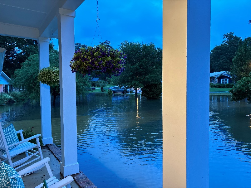
The City of Tallahassee is committed to strengthening resiliency and reducing flood risks in our community. As part of this effort, stormwater improvements are planned in the Killearn Estates neighborhood, specifically near Paddrick Drive and Dutchess Court.
This area has experienced significant flooding, most recently during a storm in April 2024 when a private pond on the Killearn Golf Club overflowed. Five homes flooded, and several others came close to flooding. Because the storm occurred overnight and floodwaters receded quickly by morning, many residents were unaware of the full extent of flooding, especially those whose homes were not flooded.
Addressing these challenges is a priority to help protect property, improve neighborhood safety, and enhance the overall resiliency of the stormwater system.
Proposed Improvements
In partnership with the Killearn Club, the City plans to expand the existing pond located in the 9-hole Clover golf course. The preliminary design includes excavating the former golf green island and clearing and excavating areas around the pond. This expansion would increase the pond’s storage capacity, thereby reducing the risk of future flooding in the surrounding neighborhood.
Community Involvement Needed
Community input is vital to the planning and design process. A public input meeting was held on Thursday, July 24, 2025, at Fellowship Presbyterian Church. The open-house style meeting provided information and allowed residents to ask questions and provide feedback. Input received from the meeting will help refine the preliminary design plan.
Project Display Board
At the public meeting, a project display board provided a visual overview of the April 2024 flood event, the current FEMA flood risk area, and the estimated floodplain based on detailed hydraulic analysis. Key features included:
- Current FEMA Zone A floodplain (yellow shaded area)
This Special Flood Hazard Area (SFHA), also known as the 100-year floodplain, represents areas with a 1% annual chance of flooding. Zone A floodplains lack detailed hydraulic analysis. This area was mapped by FEMA in 1997, after the golf course pond was constructed.
- April 2024 storm flooding (blue dashed line)
This line shows how floodwaters overtopped the golf course pond and flowed into adjacent neighborhoods. It captures the real-world impact of the April 2024 storm.
- Estimated FEMA Zone AE floodplain (red shaded area)
Based on recent, detailed hydraulic modeling after the April 2024 event, this estimated floodplain provides a more accurate representation of flood risk. The April storm was estimated to be greater than a 25-year storm but not quite a 100-year storm. Comparing the blue dashed line (actual flooding) with the red shaded area (updated model) helps validate the accuracy of the analysis.
Stay Informed
The project is currently in the early design phase. City engineers are meeting with residents and evaluating potential improvements to ensure long-term stormwater resiliency for the neighborhood.
The City is committed to transparent communication and public involvement. Project updates, future meeting announcements, and design changes, will be posted on this website as the project progresses.
For more information or if you have questions, please contact:
Scott Lord, Jr., P.E.
Project Manager
Scott.Lord@Talgov.com
850-891-6860